Marystow Footpath 10
Introduction
The photograph on this page of Marystow Footpath 10 by Derek Harper as part of the Geograph project.
The Geograph project started in 2005 with the aim of publishing, organising and preserving representative images for every square kilometre of Great Britain, Ireland and the Isle of Man.

There are currently over 7.5m images from over 14,400 individuals and you can help contribute to the project by visiting https://www.geograph.org.uk
Marystow Footpath 10
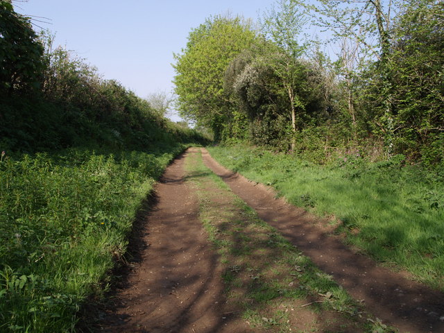
Image: © Derek Harper Taken: 1 May 2007
The footpath is heading west towards Dippertown, a kilometre away.
Images are licensed for reuse under creativecommons.org/licenses/by-sa/2.0
Image Location


Leaflet Map data © OpenStreetMap
Latitude
50.641619
Longitude
-4.211031