Boggy inter-drumlin hollow south of Polkone Road
Introduction
The photograph on this page of Boggy inter-drumlin hollow south of Polkone Road by Eric Jones as part of the Geograph project.
The Geograph project started in 2005 with the aim of publishing, organising and preserving representative images for every square kilometre of Great Britain, Ireland and the Isle of Man.

There are currently over 7.5m images from over 14,400 individuals and you can help contribute to the project by visiting https://www.geograph.org.uk
Boggy inter-drumlin hollow south of Polkone Road
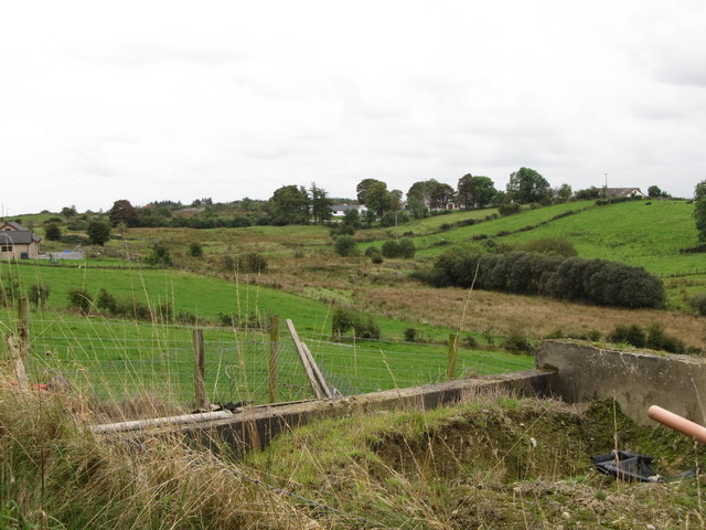
Image: © Eric Jones Taken: 2 Sep 2014
The bog is drained by a minor tributary of the upper section of the Ummeracam River.
Images are licensed for reuse under creativecommons.org/licenses/by-sa/2.0
Image Location
Latitude
54.130792
Longitude
-6.534937