Helmsley Road, Rainworth, Notts.
Introduction
The photograph on this page of Helmsley Road, Rainworth, Notts. by David Hallam-Jones as part of the Geograph project.
The Geograph project started in 2005 with the aim of publishing, organising and preserving representative images for every square kilometre of Great Britain, Ireland and the Isle of Man.

There are currently over 7.5m images from over 14,400 individuals and you can help contribute to the project by visiting https://www.geograph.org.uk
Helmsley Road, Rainworth, Notts.
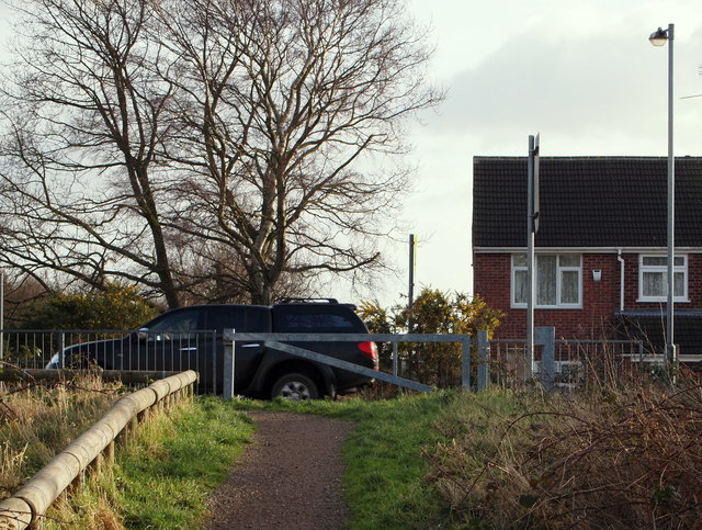
Image: © David Hallam-Jones Taken: 11 Jan 2015
Here the Mansfield Way (a medium distance trail) is approaching Helmsley Road where walkers wishing to continue to follow the trail need to cross this residential road and to descend on the opposite side of it to pick up former route used by the Mansfield-Southwell Railway. A 2.5 mile long railway was built from Rolleston Junction on the Nottingham-Lincoln line to Southwell in 1847. In April 1871 the line was extended to Mansfield. This extension helped further development of the coalfield east of Mansfield, so much so that the increasing amount of coal-related traffic resulted in the whole line being doubled in the 1920s. The line closed to passengers in 1959.
Images are licensed for reuse under creativecommons.org/licenses/by-sa/2.0
Image Location
Latitude
53.1243
Longitude
-1.134133