New path, Edginswell
Introduction
The photograph on this page of New path, Edginswell by Derek Harper as part of the Geograph project.
The Geograph project started in 2005 with the aim of publishing, organising and preserving representative images for every square kilometre of Great Britain, Ireland and the Isle of Man.

There are currently over 7.5m images from over 14,400 individuals and you can help contribute to the project by visiting https://www.geograph.org.uk
New path, Edginswell
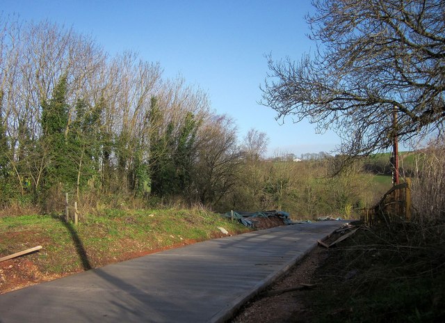
Image: © Derek Harper Taken: 9 Jan 2015
The rerouted footpath TQ/36, not yet open for business, seen from where it meets Edginswell Lane, which carries the John Musgrave Heritage Trail.
Images are licensed for reuse under creativecommons.org/licenses/by-sa/2.0
Image Location
Latitude
50.484991
Longitude
-3.571611