Start of bridleway to Stratford-sub-Castle
Introduction
The photograph on this page of Start of bridleway to Stratford-sub-Castle by Stephen Craven as part of the Geograph project.
The Geograph project started in 2005 with the aim of publishing, organising and preserving representative images for every square kilometre of Great Britain, Ireland and the Isle of Man.

There are currently over 7.5m images from over 14,400 individuals and you can help contribute to the project by visiting https://www.geograph.org.uk
Start of bridleway to Stratford-sub-Castle
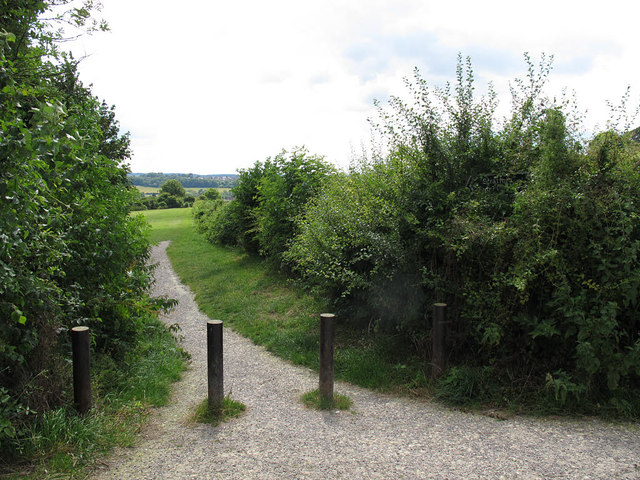
Image: © Stephen Craven Taken: 9 Jul 2014
A well surfaced track below Old Sarum hill.
Images are licensed for reuse under creativecommons.org/licenses/by-sa/2.0
Image Location
Latitude
51.091821
Longitude
-1.800472