Black Scotch Lane, Mansfield, Notts.
Introduction
The photograph on this page of Black Scotch Lane, Mansfield, Notts. by David Hallam-Jones as part of the Geograph project.
The Geograph project started in 2005 with the aim of publishing, organising and preserving representative images for every square kilometre of Great Britain, Ireland and the Isle of Man.

There are currently over 7.5m images from over 14,400 individuals and you can help contribute to the project by visiting https://www.geograph.org.uk
Black Scotch Lane, Mansfield, Notts.
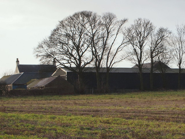
Image: © David Hallam-Jones Taken: 11 Jan 2015
Firs Farm is seen here from the south section of Black Scotch Lane, i.e. the part of Black Scotch Lane south of the A617, a road that has for a number of years (number unknown) bisected this lane 150 yards ahead.
Images are licensed for reuse under creativecommons.org/licenses/by-sa/2.0
Image Location
Latitude
53.121059
Longitude
-1.171406