Drained wetland on the east side of Cortreasla Road
Introduction
The photograph on this page of Drained wetland on the east side of Cortreasla Road by Eric Jones as part of the Geograph project.
The Geograph project started in 2005 with the aim of publishing, organising and preserving representative images for every square kilometre of Great Britain, Ireland and the Isle of Man.

There are currently over 7.5m images from over 14,400 individuals and you can help contribute to the project by visiting https://www.geograph.org.uk
Drained wetland on the east side of Cortreasla Road
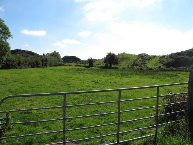
Image: © Eric Jones Taken: 10 Sep 2014
This is an area of rock outcrops and wet hollows.
Images are licensed for reuse under creativecommons.org/licenses/by-sa/2.0
Image Location
Latitude
54.076165
Longitude
-6.527542