Main Street and Sunday School, Tingewick
Introduction
The photograph on this page of Main Street and Sunday School, Tingewick by Bikeboy as part of the Geograph project.
The Geograph project started in 2005 with the aim of publishing, organising and preserving representative images for every square kilometre of Great Britain, Ireland and the Isle of Man.

There are currently over 7.5m images from over 14,400 individuals and you can help contribute to the project by visiting https://www.geograph.org.uk
Main Street and Sunday School, Tingewick
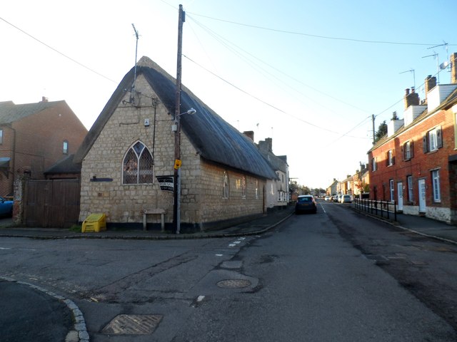
Image: © Bikeboy Taken: 2 Jan 2015
Dated 1828. See http://www.britishlistedbuildings.co.uk/en-396879-sunday-school-and-cottage-to-west-tingew for entry in British Listed Buildings. The street was the A421 until the village was bypassed in 1998.
Images are licensed for reuse under creativecommons.org/licenses/by-sa/2.0
Image Location
Latitude
51.990235
Longitude
-1.04578