Windmill Lane, Mansfield, Notts.
Introduction
The photograph on this page of Windmill Lane, Mansfield, Notts. by David Hallam-Jones as part of the Geograph project.
The Geograph project started in 2005 with the aim of publishing, organising and preserving representative images for every square kilometre of Great Britain, Ireland and the Isle of Man.

There are currently over 7.5m images from over 14,400 individuals and you can help contribute to the project by visiting https://www.geograph.org.uk
Windmill Lane, Mansfield, Notts.
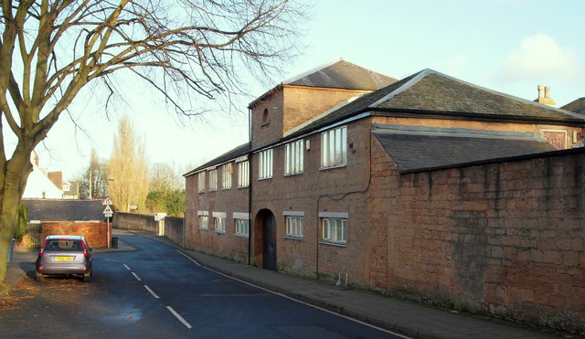
Image: © David Hallam-Jones Taken: 8 Jan 2015
The former Carr Bank House stables, c.1805. The main house (now The Mansfield Manor Hotel), was once the family home of a local cotton industrialist, a Mr Stanton. Since the main house was previously used as office space for local Council staff, perhaps the converted stables were too? Now however, there is a café situated on the first floor and two shops on the ground floor. The main house, behind this block, overlooks Carr Bank Park.
Images are licensed for reuse under creativecommons.org/licenses/by-sa/2.0
Image Location
Latitude
53.149597
Longitude
-1.190594