Quay Close junction in Hereford
Introduction
The photograph on this page of Quay Close junction in Hereford by Jaggery as part of the Geograph project.
The Geograph project started in 2005 with the aim of publishing, organising and preserving representative images for every square kilometre of Great Britain, Ireland and the Isle of Man.

There are currently over 7.5m images from over 14,400 individuals and you can help contribute to the project by visiting https://www.geograph.org.uk
Quay Close junction in Hereford
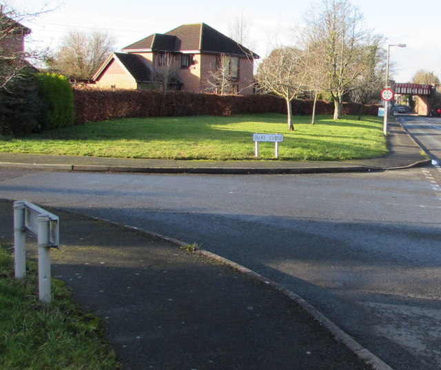
Image: © Jaggery Taken: 8 Jan 2015
The left turn is into Quay Close, a small cul-de-sac http://www.geograph.org.uk/photo/4305280 on the north bank of the River Wye. A railway bridge over the B4224 Eign Road is in the background on the right.
Images are licensed for reuse under creativecommons.org/licenses/by-sa/2.0
Image Location
Latitude
52.050015
Longitude
-2.698745