Industrial site, Reddings
Introduction
The photograph on this page of Industrial site, Reddings by Richard Webb as part of the Geograph project.
The Geograph project started in 2005 with the aim of publishing, organising and preserving representative images for every square kilometre of Great Britain, Ireland and the Isle of Man.

There are currently over 7.5m images from over 14,400 individuals and you can help contribute to the project by visiting https://www.geograph.org.uk
Industrial site, Reddings
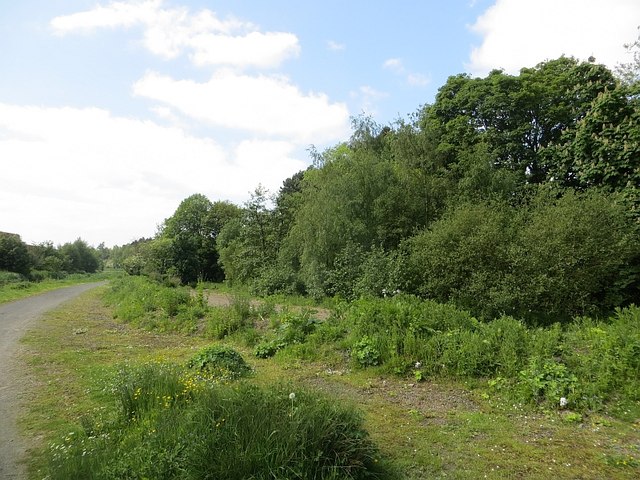
Image: © Richard Webb Taken: 30 May 2014
Early 20th century maps show an explosive works occupied this site, to the west of Reddings Colliery.
Images are licensed for reuse under creativecommons.org/licenses/by-sa/2.0
Image Location
Latitude
55.983172
Longitude
-3.749527