Inverarity Primary School
Introduction
The photograph on this page of Inverarity Primary School by Anne Burgess as part of the Geograph project.
The Geograph project started in 2005 with the aim of publishing, organising and preserving representative images for every square kilometre of Great Britain, Ireland and the Isle of Man.

There are currently over 7.5m images from over 14,400 individuals and you can help contribute to the project by visiting https://www.geograph.org.uk
Inverarity Primary School
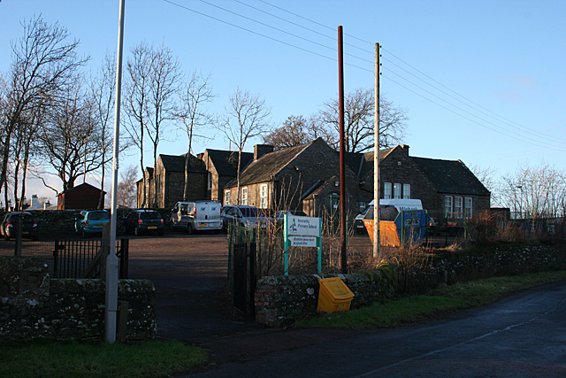
Image: © Anne Burgess Taken: 8 Jan 2015
In these days of rural closure, Inverarity is fortunate in still having both a kirk and a school. The school's web site is at http://www.inverarity.angus.sch.uk/
Images are licensed for reuse under creativecommons.org/licenses/by-sa/2.0
Image Location
Latitude
56.585855
Longitude
-2.896565