Muir of Lour
Introduction
The photograph on this page of Muir of Lour by Anne Burgess as part of the Geograph project.
The Geograph project started in 2005 with the aim of publishing, organising and preserving representative images for every square kilometre of Great Britain, Ireland and the Isle of Man.

There are currently over 7.5m images from over 14,400 individuals and you can help contribute to the project by visiting https://www.geograph.org.uk
Muir of Lour
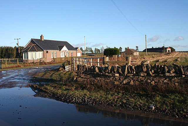
Image: © Anne Burgess Taken: 8 Jan 2015
It's not quite as wet as it looks - that's just a large puddle where the road to Muir of Lour meets the public road.
Images are licensed for reuse under creativecommons.org/licenses/by-sa/2.0
Image Location
Latitude
56.593402
Longitude
-2.845122