New houses where once stood the watertower
Introduction
The photograph on this page of New houses where once stood the watertower by Andrew Darge as part of the Geograph project.
The Geograph project started in 2005 with the aim of publishing, organising and preserving representative images for every square kilometre of Great Britain, Ireland and the Isle of Man.

There are currently over 7.5m images from over 14,400 individuals and you can help contribute to the project by visiting https://www.geograph.org.uk
New houses where once stood the watertower
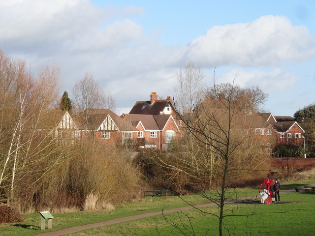
Image: © Andrew Darge Taken: 8 Jan 2015
Barbourne water works, pumping station, filter beds and a tower to provide a head of water to supply Worcester occupies this area. The Tower was only recently demolished and the space on the northern bank of the Barbourne brook redeveloped as smart new houses. The open space between the brook and the pumping station is now an excellent public open space and the pumphouse building preserved and home to a delightful café.
Images are licensed for reuse under creativecommons.org/licenses/by-sa/2.0
Image Location
Latitude
52.208022
Longitude
-2.233075