Great Eau and Theddlethorpe: aerial 2015
Introduction
The photograph on this page of Great Eau and Theddlethorpe: aerial 2015 by Chris as part of the Geograph project.
The Geograph project started in 2005 with the aim of publishing, organising and preserving representative images for every square kilometre of Great Britain, Ireland and the Isle of Man.

There are currently over 7.5m images from over 14,400 individuals and you can help contribute to the project by visiting https://www.geograph.org.uk
Great Eau and Theddlethorpe: aerial 2015
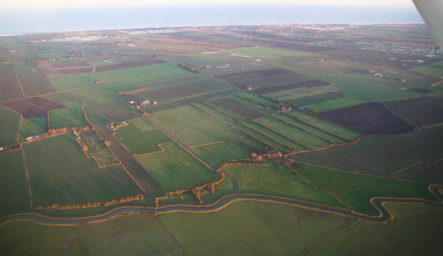
Image: © Chris Taken: 6 Jan 2015
Looking up Healey Lane (right of the long brown field) to Will Row and Theddlethorpe.
Images are licensed for reuse under creativecommons.org/licenses/by-sa/2.0
Image Location


Leaflet Map data © OpenStreetMap
Latitude
53.349926
Longitude
0.187112