Main Street, Oxton, Notts.
Introduction
The photograph on this page of Main Street, Oxton, Notts. by David Hallam-Jones as part of the Geograph project.
The Geograph project started in 2005 with the aim of publishing, organising and preserving representative images for every square kilometre of Great Britain, Ireland and the Isle of Man.

There are currently over 7.5m images from over 14,400 individuals and you can help contribute to the project by visiting https://www.geograph.org.uk
Main Street, Oxton, Notts.
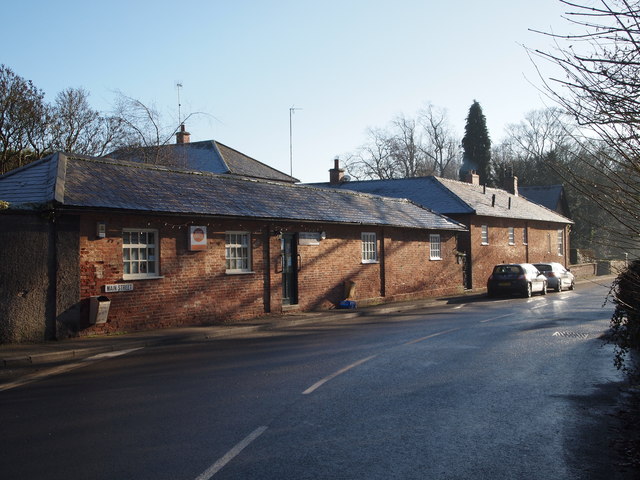
Image: © David Hallam-Jones Taken: 4 Jan 2015
The combined Home Farm Stores and Post Office looking southwards. The junction with Blind Lane on its left hand corner. The Parish Church and the Village Hall lie a few metres ahead.
Images are licensed for reuse under creativecommons.org/licenses/by-sa/2.0
Image Location
Latitude
53.05849
Longitude
-1.061892