Towards Froghill Plantation
Introduction
The photograph on this page of Towards Froghill Plantation by Derek Harper as part of the Geograph project.
The Geograph project started in 2005 with the aim of publishing, organising and preserving representative images for every square kilometre of Great Britain, Ireland and the Isle of Man.

There are currently over 7.5m images from over 14,400 individuals and you can help contribute to the project by visiting https://www.geograph.org.uk
Towards Froghill Plantation
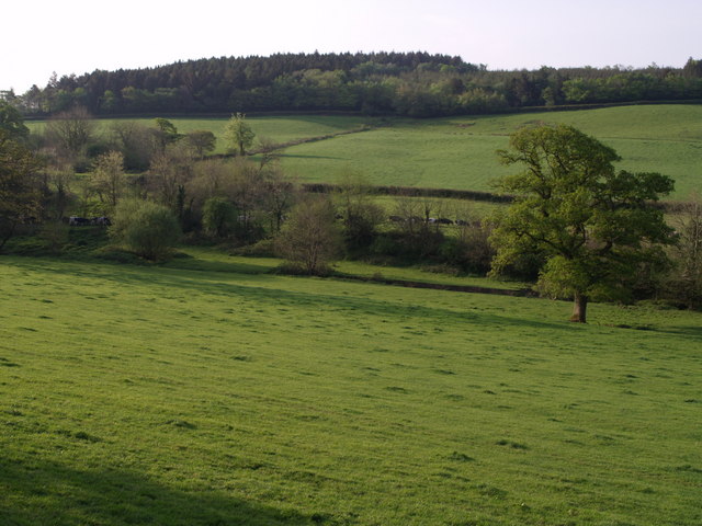
Image: © Derek Harper Taken: 1 May 2007
From the lane between Lowertown to Lewtrenchard, this view looks across fields west of Coryton Barton farm. A long line of cattle crosses the field beyond the trees, presumably after the morning's milking. A segment of Froghill plantation, on the hill towards Coryton, is in this square.
Images are licensed for reuse under creativecommons.org/licenses/by-sa/2.0
Image Location


Leaflet Map data © OpenStreetMap
Latitude
50.63527
Longitude
-4.180469