Bottom of Winforton Street
Introduction
The photograph on this page of Bottom of Winforton Street by Stephen Craven as part of the Geograph project.
The Geograph project started in 2005 with the aim of publishing, organising and preserving representative images for every square kilometre of Great Britain, Ireland and the Isle of Man.

There are currently over 7.5m images from over 14,400 individuals and you can help contribute to the project by visiting https://www.geograph.org.uk
Bottom of Winforton Street
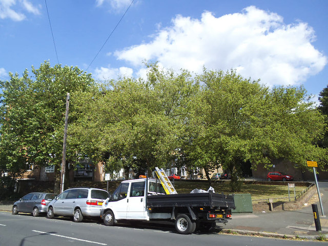
Image: © Stephen Craven Taken: 21 Jun 2014
Trees on a small patch of undeveloped land at the junction with Blissett Street.
Images are licensed for reuse under creativecommons.org/licenses/by-sa/2.0
Image Location


Leaflet Map data © OpenStreetMap
Latitude
51.474564
Longitude
-0.012343