View east across Loughaveely Fen towards Glasdrumman Chapel and the Castlerock Estate
Introduction
The photograph on this page of View east across Loughaveely Fen towards Glasdrumman Chapel and the Castlerock Estate by Eric Jones as part of the Geograph project.
The Geograph project started in 2005 with the aim of publishing, organising and preserving representative images for every square kilometre of Great Britain, Ireland and the Isle of Man.

There are currently over 7.5m images from over 14,400 individuals and you can help contribute to the project by visiting https://www.geograph.org.uk
View east across Loughaveely Fen towards Glasdrumman Chapel and the Castlerock Estate
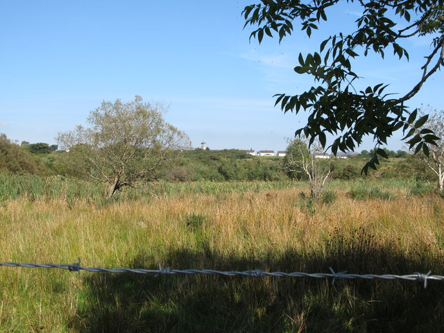
Image: © Eric Jones Taken: 10 Sep 2014
This area east of the road is part of 4.74 ha fen and also contains a number of former peat workings. http://www.doeni.gov.uk/niea/protected_areas_home/new_assi_landing_page/county_armagh-2/loughaveely_assi.htm
Images are licensed for reuse under creativecommons.org/licenses/by-sa/2.0
Image Location
Latitude
54.068509
Longitude
-6.540797