Land ready for new housing development
Introduction
The photograph on this page of Land ready for new housing development by Bikeboy as part of the Geograph project.
The Geograph project started in 2005 with the aim of publishing, organising and preserving representative images for every square kilometre of Great Britain, Ireland and the Isle of Man.

There are currently over 7.5m images from over 14,400 individuals and you can help contribute to the project by visiting https://www.geograph.org.uk
Land ready for new housing development
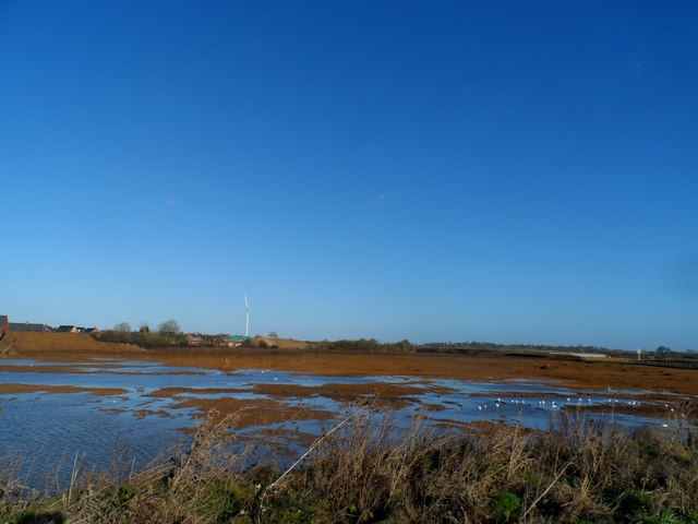
Image: © Bikeboy Taken: 2 Jan 2015
See Michael Trolove's picture from late 2012 http://www.geograph.org.uk/photo/3276714 when the roads were still being constructed. There seems to be a lot of standing water on this site and it is clearly in the flood plain of the river.
Images are licensed for reuse under creativecommons.org/licenses/by-sa/2.0
Image Location
Latitude
51.836435
Longitude
-0.849033