Kighill Lane Vicinity, Ravenshead, Notts.
Introduction
The photograph on this page of Kighill Lane Vicinity, Ravenshead, Notts. by David Hallam-Jones as part of the Geograph project.
The Geograph project started in 2005 with the aim of publishing, organising and preserving representative images for every square kilometre of Great Britain, Ireland and the Isle of Man.

There are currently over 7.5m images from over 14,400 individuals and you can help contribute to the project by visiting https://www.geograph.org.uk
Kighill Lane Vicinity, Ravenshead, Notts.
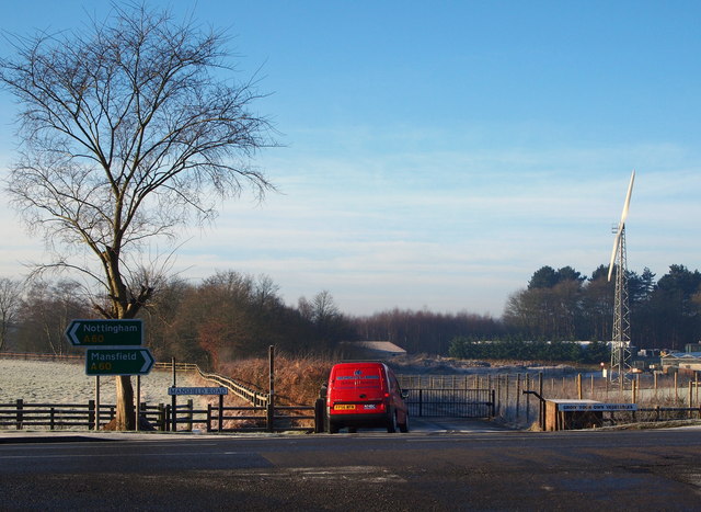
Image: © David Hallam-Jones Taken: 4 Jan 2015
A view across the A60 from the western end of Kighill Lane. Walkers using the Robin Hood Way (Long Distance Path) are required to cross this road from the footpath opposite having come from the Papplewick Hall/Newstead Grange direction (or else, going eastwards down Kighill Lane next en-route for Blidworth).
Images are licensed for reuse under creativecommons.org/licenses/by-sa/2.0
Image Location
Latitude
53.073343
Longitude
-1.160978