Wigmore from the church roof
Introduction
The photograph on this page of Wigmore from the church roof by John Winder as part of the Geograph project.
The Geograph project started in 2005 with the aim of publishing, organising and preserving representative images for every square kilometre of Great Britain, Ireland and the Isle of Man.

There are currently over 7.5m images from over 14,400 individuals and you can help contribute to the project by visiting https://www.geograph.org.uk
Wigmore from the church roof
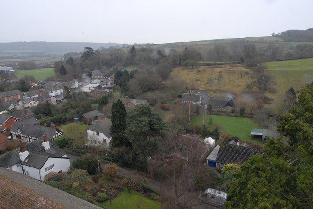
Image: © John Winder Taken: 26 Dec 2014
A general view of the small Herefordshire village of Wigmore. The school and its playing fields are in the background; in the foreground are some of the houses on Castle Street.
Images are licensed for reuse under creativecommons.org/licenses/by-sa/2.0
Image Location
Latitude
52.316045
Longitude
-2.862098