Daisy Street, Brighouse
Introduction
The photograph on this page of Daisy Street, Brighouse by Humphrey Bolton as part of the Geograph project.
The Geograph project started in 2005 with the aim of publishing, organising and preserving representative images for every square kilometre of Great Britain, Ireland and the Isle of Man.

There are currently over 7.5m images from over 14,400 individuals and you can help contribute to the project by visiting https://www.geograph.org.uk
Daisy Street, Brighouse
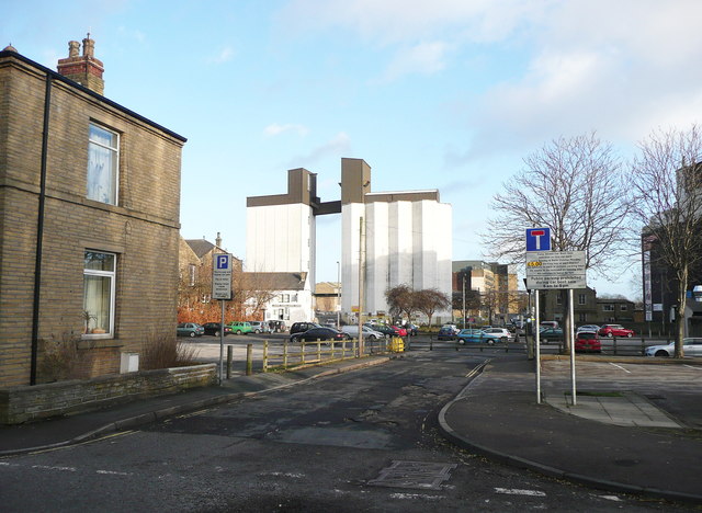
Image: © Humphrey Bolton Taken: 2 Jan 2015
This street went through to Briggate in line with Mill Royd Street. All the buildings were demolished and the area was turned into a car park, with just this short length of street remaining. The fence across it prevents traffic from using the street and car park to avoid the jams at the Mill Royd Street junction, where traffic turning right blocks traffic continuing on the main road.
Images are licensed for reuse under creativecommons.org/licenses/by-sa/2.0
Image Location
Latitude
53.7
Longitude
-1.783065