Westport Lake: path, information board and bridge in the Conservation Area
Introduction
The photograph on this page of Westport Lake: path, information board and bridge in the Conservation Area by Jonathan Hutchins as part of the Geograph project.
The Geograph project started in 2005 with the aim of publishing, organising and preserving representative images for every square kilometre of Great Britain, Ireland and the Isle of Man.

There are currently over 7.5m images from over 14,400 individuals and you can help contribute to the project by visiting https://www.geograph.org.uk
Westport Lake: path, information board and bridge in the Conservation Area
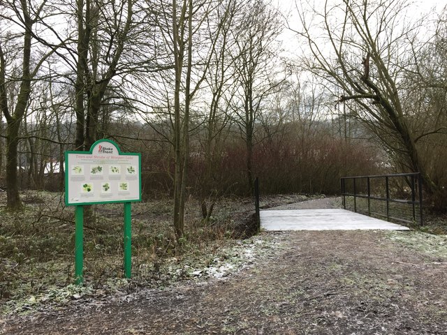
Image: © Jonathan Hutchins Taken: 30 Dec 2014
'Trees and Shrubs of Westport Lake', proclaims the information board. This may be useful when trees are in leaf, but not at the season this photograph was taken!
Images are licensed for reuse under creativecommons.org/licenses/by-sa/2.0
Image Location
Latitude
53.047779
Longitude
-2.220132