Newmanleys Road (South) south of Eastwood
Introduction
The photograph on this page of Newmanleys Road (South) south of Eastwood by Richard Vince as part of the Geograph project.
The Geograph project started in 2005 with the aim of publishing, organising and preserving representative images for every square kilometre of Great Britain, Ireland and the Isle of Man.

There are currently over 7.5m images from over 14,400 individuals and you can help contribute to the project by visiting https://www.geograph.org.uk
Newmanleys Road (South) south of Eastwood
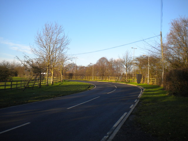
Image: © Richard Vince Taken: 13 Dec 2014
Newmanleys Road was severed by the A610 Kimberley Eastwood Bypass; this section, which now appears totally unrelated to the rest of the road, acquired the bracketed suffix as a result. Newmanleys Road is less than 100 yards from here as the crow flies, but around half a mile away by road.
Images are licensed for reuse under creativecommons.org/licenses/by-sa/2.0
Image Location
Latitude
53.006878
Longitude
-1.30951