Forston Higher Farm and Fairmile Farm
Introduction
The photograph on this page of Forston Higher Farm and Fairmile Farm by Ian Allman as part of the Geograph project.
The Geograph project started in 2005 with the aim of publishing, organising and preserving representative images for every square kilometre of Great Britain, Ireland and the Isle of Man.

There are currently over 7.5m images from over 14,400 individuals and you can help contribute to the project by visiting https://www.geograph.org.uk
Forston Higher Farm and Fairmile Farm
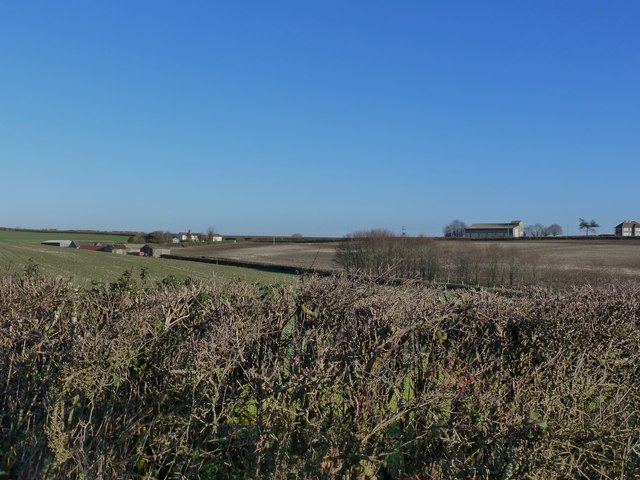
Image: © Ian Allman Taken: 28 Dec 2014
Forston Higher Farm [left] and Fairmile Farm on The Old Sherborne Road North of Dorchester. A bridle path runs across the fields behind the hedge from Forston Higher Farm and stretches down to meet the A352 at Forston.
Images are licensed for reuse under creativecommons.org/licenses/by-sa/2.0
Image Location


Leaflet Map data © OpenStreetMap
Latitude
50.769014
Longitude
-2.450463