Anti-tank road block cube on Floodgates bridge
Introduction
The photograph on this page of Anti-tank road block cube on Floodgates bridge by Andy Potter as part of the Geograph project.
The Geograph project started in 2005 with the aim of publishing, organising and preserving representative images for every square kilometre of Great Britain, Ireland and the Isle of Man.

There are currently over 7.5m images from over 14,400 individuals and you can help contribute to the project by visiting https://www.geograph.org.uk
Anti-tank road block cube on Floodgates bridge
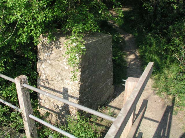
Image: © Andy Potter Taken: 30 Apr 2007
The farm bridge that this cube blocked fell into disrepair and was replaced by a footbridge.
Images are licensed for reuse under creativecommons.org/licenses/by-sa/2.0
Image Location
Latitude
51.057735
Longitude
-0.35974