Nearing Chrishall
Introduction
The photograph on this page of Nearing Chrishall by John Sutton as part of the Geograph project.
The Geograph project started in 2005 with the aim of publishing, organising and preserving representative images for every square kilometre of Great Britain, Ireland and the Isle of Man.

There are currently over 7.5m images from over 14,400 individuals and you can help contribute to the project by visiting https://www.geograph.org.uk
Nearing Chrishall
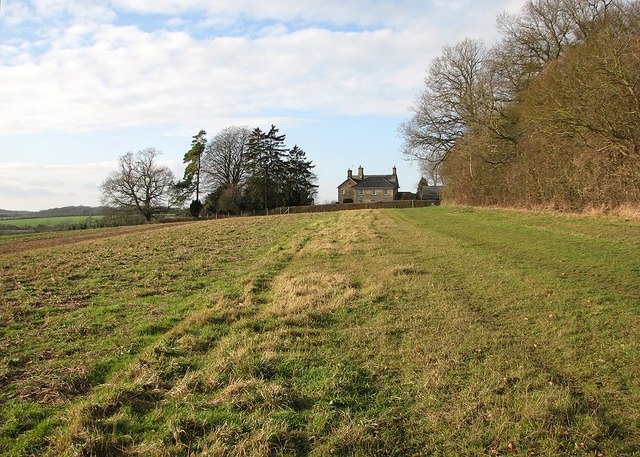
Image: © John Sutton Taken: 25 Dec 2014
Holy Trinity Church and The Vicarage are at the south-eastern extremity of the village, overlooking the valley of one of the tributaries of the Cam.
Images are licensed for reuse under creativecommons.org/licenses/by-sa/2.0
Image Location
Latitude
52.026714
Longitude
0.115545