Field boundary
Introduction
The photograph on this page of Field boundary by Derek Harper as part of the Geograph project.
The Geograph project started in 2005 with the aim of publishing, organising and preserving representative images for every square kilometre of Great Britain, Ireland and the Isle of Man.

There are currently over 7.5m images from over 14,400 individuals and you can help contribute to the project by visiting https://www.geograph.org.uk
Field boundary
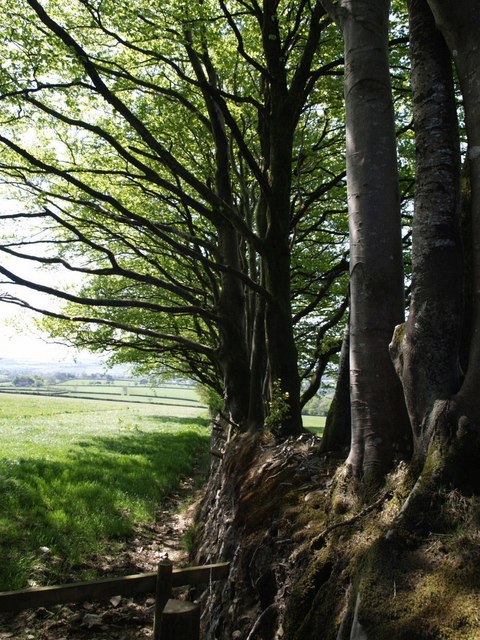
Image: © Derek Harper Taken: 1 May 2007
Another view of the field boundary shown in Image The land slopes away towards the Lumburn valley.
Images are licensed for reuse under creativecommons.org/licenses/by-sa/2.0
Image Location


Leaflet Map data © OpenStreetMap
Latitude
50.592902
Longitude
-4.185574