Bridgend District Laleston Parish milepost
Introduction
The photograph on this page of Bridgend District Laleston Parish milepost by Jaggery as part of the Geograph project.
The Geograph project started in 2005 with the aim of publishing, organising and preserving representative images for every square kilometre of Great Britain, Ireland and the Isle of Man.

There are currently over 7.5m images from over 14,400 individuals and you can help contribute to the project by visiting https://www.geograph.org.uk
Bridgend District Laleston Parish milepost
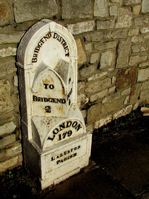
Image: © Jaggery Taken: 24 Dec 2014
On the north side of Laleston High Street, http://www.geograph.org.uk/photo/4889921 opposite Well Street. 2 miles to (the centre of) Bridgend, 4 to Pyle, 179 to London. One of a series of cast-iron mileposts erected in the 1830s for the Bridgend Turnpike Trust, this one was Grade II listed in 1998.
Images are licensed for reuse under creativecommons.org/licenses/by-sa/2.0
Image Location
Latitude
51.505795
Longitude
-3.623347