Pond, Furze Field
Introduction
The photograph on this page of Pond, Furze Field by Simon Carey as part of the Geograph project.
The Geograph project started in 2005 with the aim of publishing, organising and preserving representative images for every square kilometre of Great Britain, Ireland and the Isle of Man.

There are currently over 7.5m images from over 14,400 individuals and you can help contribute to the project by visiting https://www.geograph.org.uk
Pond, Furze Field
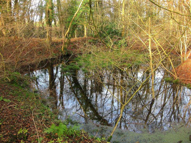
Image: © Simon Carey Taken: 20 Dec 2014
Occupying the south west corner of the wood next to the junction of Cleaver's Lane bridleway and Cuckfield Road, the B2114. It is marked on the 1874 OS map and its position near the highways suggest an old marlpit.
Images are licensed for reuse under creativecommons.org/licenses/by-sa/2.0
Image Location
Latitude
51.02517
Longitude
-0.171234