Drury Lane, Lincoln
Introduction
The photograph on this page of Drury Lane, Lincoln by David Hallam-Jones as part of the Geograph project.
The Geograph project started in 2005 with the aim of publishing, organising and preserving representative images for every square kilometre of Great Britain, Ireland and the Isle of Man.

There are currently over 7.5m images from over 14,400 individuals and you can help contribute to the project by visiting https://www.geograph.org.uk
Drury Lane, Lincoln
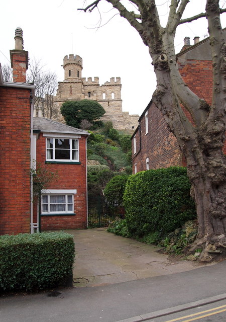
Image: © David Hallam-Jones Taken: 22 Dec 2014
Lincoln Castle's Observatory Tower - on its south side - seen here from a private driveway opposite Gibraltar Hill.
Images are licensed for reuse under creativecommons.org/licenses/by-sa/2.0
Image Location
Latitude
53.233843
Longitude
-0.540572