Flooded Water of Girvan
Introduction
The photograph on this page of Flooded Water of Girvan by Mary and Angus Hogg as part of the Geograph project.
The Geograph project started in 2005 with the aim of publishing, organising and preserving representative images for every square kilometre of Great Britain, Ireland and the Isle of Man.

There are currently over 7.5m images from over 14,400 individuals and you can help contribute to the project by visiting https://www.geograph.org.uk
Flooded Water of Girvan
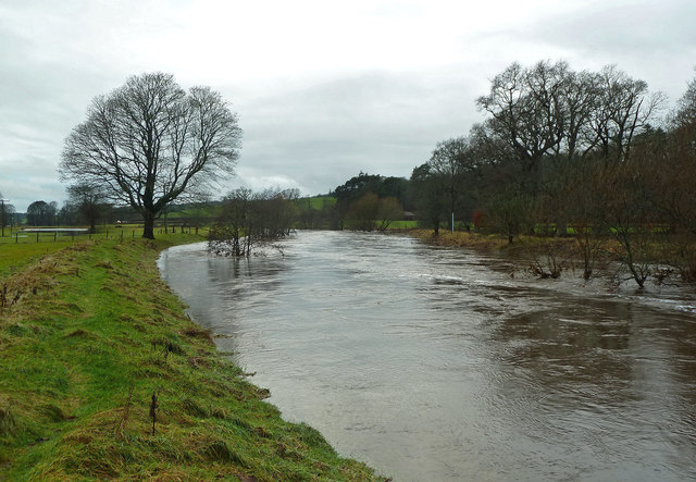
Image: © Mary and Angus Hogg Taken: 23 Dec 2014
This shot was taken after the flood water had gone down by a good 60-70cm (at least 2 feet) from the previous day's level. Floods are a regular winter occurrence in this part of the Girvan Valley. For a more typical view of the river, see Image and try Image for a wintry scene.
Images are licensed for reuse under creativecommons.org/licenses/by-sa/2.0
Image Location
Latitude
55.302168
Longitude
-4.672122