Toll House
Introduction
The photograph on this page of Toll House by Simon Carey as part of the Geograph project.
The Geograph project started in 2005 with the aim of publishing, organising and preserving representative images for every square kilometre of Great Britain, Ireland and the Isle of Man.

There are currently over 7.5m images from over 14,400 individuals and you can help contribute to the project by visiting https://www.geograph.org.uk
Toll House
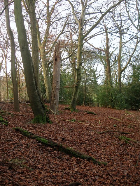
Image: © Simon Carey Taken: 20 Dec 2014
The name of the wood according to Cuckfield's 1843 tithe map though no OS maps give the wood a title. Located to the north of Image, east of Image and west of Cleaver's Lane.
Images are licensed for reuse under creativecommons.org/licenses/by-sa/2.0
Image Location
Latitude
51.024865
Longitude
-0.16326