South end of Whitworth Drive, Gedling
Introduction
The photograph on this page of South end of Whitworth Drive, Gedling by Richard Vince as part of the Geograph project.
The Geograph project started in 2005 with the aim of publishing, organising and preserving representative images for every square kilometre of Great Britain, Ireland and the Isle of Man.

There are currently over 7.5m images from over 14,400 individuals and you can help contribute to the project by visiting https://www.geograph.org.uk
South end of Whitworth Drive, Gedling
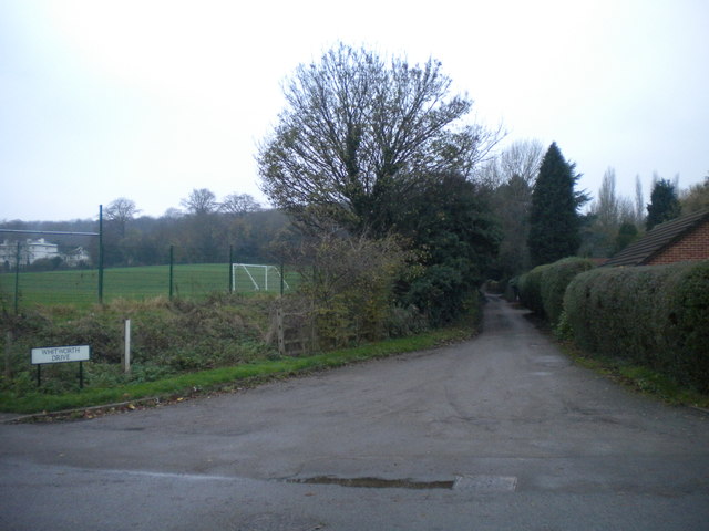
Image: © Richard Vince Taken: 29 Nov 2014
This lane parallels the eastern end of the playing fields of Carlton-le-Willows Academy. A proposed relief road around the north eastern side of Gedling is planned to begin about here, obliterating part of the playing field.
Images are licensed for reuse under creativecommons.org/licenses/by-sa/2.0
Image Location
Latitude
52.977128
Longitude
-1.060974