Combe Florey : The Farmers Arms
Introduction
The photograph on this page of Combe Florey : The Farmers Arms by Lewis Clarke as part of the Geograph project.
The Geograph project started in 2005 with the aim of publishing, organising and preserving representative images for every square kilometre of Great Britain, Ireland and the Isle of Man.

There are currently over 7.5m images from over 14,400 individuals and you can help contribute to the project by visiting https://www.geograph.org.uk
Combe Florey : The Farmers Arms
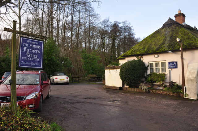
Image: © Lewis Clarke Taken: 21 Dec 2014
Car park and exterior of the Grade II listed dwelling, now public house. C15, enlarged C17, altered mid C20.
Images are licensed for reuse under creativecommons.org/licenses/by-sa/2.0
Image Location
Latitude
51.077882
Longitude
-3.212031