Old Denshire Field/Lower Kiln Field/Upper Kiln Field
Introduction
The photograph on this page of Old Denshire Field/Lower Kiln Field/Upper Kiln Field by Simon Carey as part of the Geograph project.
The Geograph project started in 2005 with the aim of publishing, organising and preserving representative images for every square kilometre of Great Britain, Ireland and the Isle of Man.

There are currently over 7.5m images from over 14,400 individuals and you can help contribute to the project by visiting https://www.geograph.org.uk
Old Denshire Field/Lower Kiln Field/Upper Kiln Field
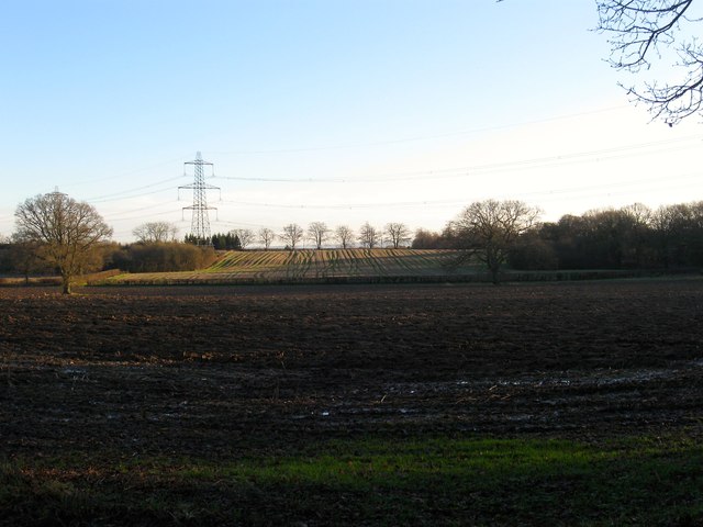
Image: © Simon Carey Taken: 13 Dec 2014
The name of the fields according to Cuckfield's 1843 tithe map. Old Denshire Field is in the foreground whilst beyond the hedge at the far end is Lower Kiln Field on the flat and Upper Kiln Field on the slope.
Images are licensed for reuse under creativecommons.org/licenses/by-sa/2.0
Image Location


Leaflet Map data © OpenStreetMap
Latitude
50.980768
Longitude
-0.1499