Caldecotte Lake and Bow Brickhill
Introduction
The photograph on this page of Caldecotte Lake and Bow Brickhill by M J Richardson as part of the Geograph project.
The Geograph project started in 2005 with the aim of publishing, organising and preserving representative images for every square kilometre of Great Britain, Ireland and the Isle of Man.

There are currently over 7.5m images from over 14,400 individuals and you can help contribute to the project by visiting https://www.geograph.org.uk
Caldecotte Lake and Bow Brickhill
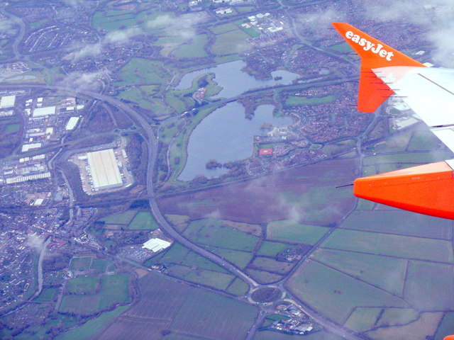
Image: © M J Richardson Taken: 12 Dec 2014
Looking north after turning on to the start of the downwind leg for Luton Airport south of Milton Keynes. The roundabout is where the A5 is joined by the A4146 from Leighton Buzzard.
Images are licensed for reuse under creativecommons.org/licenses/by-sa/2.0
Image Location
Latitude
52.003598
Longitude
-0.703441