New houses, Stanley Road
Introduction
The photograph on this page of New houses, Stanley Road by John Baker as part of the Geograph project.
The Geograph project started in 2005 with the aim of publishing, organising and preserving representative images for every square kilometre of Great Britain, Ireland and the Isle of Man.

There are currently over 7.5m images from over 14,400 individuals and you can help contribute to the project by visiting https://www.geograph.org.uk
New houses, Stanley Road
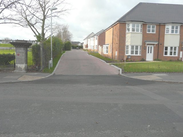
Image: © John Baker Taken: 11 Dec 2014
Compared with Image, all work on the new houses has been completed. The cul-de-sac running off Stanley Road has been given the name Milky Whey.
Images are licensed for reuse under creativecommons.org/licenses/by-sa/2.0
Image Location
Latitude
51.090154
Longitude
1.141499