Chapel Lane near Ryarsh
Introduction
The photograph on this page of Chapel Lane near Ryarsh by Marathon as part of the Geograph project.
The Geograph project started in 2005 with the aim of publishing, organising and preserving representative images for every square kilometre of Great Britain, Ireland and the Isle of Man.

There are currently over 7.5m images from over 14,400 individuals and you can help contribute to the project by visiting https://www.geograph.org.uk
Chapel Lane near Ryarsh
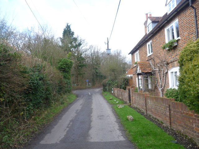
Image: © Marathon Taken: 20 Dec 2014
This is a small hamlet away from the village of Ryarsh. Park Farm Road is ahead beyond the junction where Workhouse Road joins from the left. A footpath through Ryarsh Wood is just beyond the 'no through road' sign.
Images are licensed for reuse under creativecommons.org/licenses/by-sa/2.0
Image Location
Latitude
51.317629
Longitude
0.387723