Brickyard Lane, Farnsfield, Notts.
Introduction
The photograph on this page of Brickyard Lane, Farnsfield, Notts. by David Hallam-Jones as part of the Geograph project.
The Geograph project started in 2005 with the aim of publishing, organising and preserving representative images for every square kilometre of Great Britain, Ireland and the Isle of Man.

There are currently over 7.5m images from over 14,400 individuals and you can help contribute to the project by visiting https://www.geograph.org.uk
Brickyard Lane, Farnsfield, Notts.
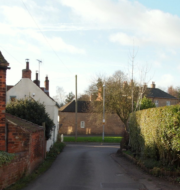
Image: © David Hallam-Jones Taken: 20 Dec 2014
The village centre end of Brickyard Lane is seen here curling round to the right to join The Ridgeway (another road) and beyond the street lamp and the telegraph pole is the principal road through the village, Main Street. In the past (? dates) there was a brick-making works in Brickyard Lane which utilised the local clay and produced quite distinctive red bricks of a smaller size than modern bricks. Walkers exiting the Southwell Trail access point located 10-15 minutes walk away behind the photographer enter the village here.
Images are licensed for reuse under creativecommons.org/licenses/by-sa/2.0
Image Location
Latitude
53.101922
Longitude
-1.02988