Lighthouse Cottage
Introduction
The photograph on this page of Lighthouse Cottage by Fernweh as part of the Geograph project.
The Geograph project started in 2005 with the aim of publishing, organising and preserving representative images for every square kilometre of Great Britain, Ireland and the Isle of Man.

There are currently over 7.5m images from over 14,400 individuals and you can help contribute to the project by visiting https://www.geograph.org.uk
Lighthouse Cottage
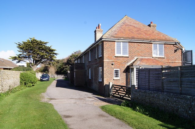
Image: © Fernweh Taken: 1 Nov 2014
I quote from Simon Careys photograph Image of these cottages: "The oldest buildings in Kingston Gorse, there are two cottages here, North Cottage is the first whilst the second partially obscured one is Lighthouse Cottage. The latter gives a clue to their origins built to house the workers of the local beach signal station that were built sometime between 1783-1813 (They are marked on the 1st OS Map of 1813 but not on Yeakell & Gardner's map of 1783)"
Images are licensed for reuse under creativecommons.org/licenses/by-sa/2.0
Image Location
Latitude
50.802828
Longitude
-0.462206