Inverness and Perth Junction Railway
Introduction
The photograph on this page of Inverness and Perth Junction Railway by Richard Webb as part of the Geograph project.
The Geograph project started in 2005 with the aim of publishing, organising and preserving representative images for every square kilometre of Great Britain, Ireland and the Isle of Man.

There are currently over 7.5m images from over 14,400 individuals and you can help contribute to the project by visiting https://www.geograph.org.uk
Inverness and Perth Junction Railway
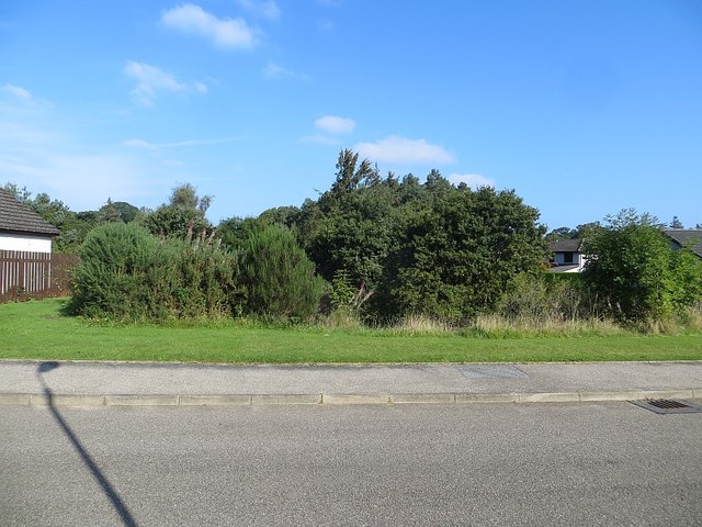
Image: © Richard Webb Taken: 14 Sep 2014
North of here the trackbed is overgrown. The Dava Way is signposted through residential streets to the centre of Forres.
Images are licensed for reuse under creativecommons.org/licenses/by-sa/2.0
Image Location
Latitude
57.598076
Longitude
-3.615052