Scarth Wood Farm
Introduction
The photograph on this page of Scarth Wood Farm by Gordon Hatton as part of the Geograph project.
The Geograph project started in 2005 with the aim of publishing, organising and preserving representative images for every square kilometre of Great Britain, Ireland and the Isle of Man.

There are currently over 7.5m images from over 14,400 individuals and you can help contribute to the project by visiting https://www.geograph.org.uk
Scarth Wood Farm
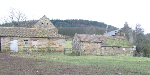
Image: © Gordon Hatton Taken: 14 Dec 2014
A nice collection of farm buildings in a remote location at the bottom of Scarth Wood. The 18thC barns and the later early to mid 19thC house are all grade 2 listed. The public bridleway passes through the gate and fold yard.
Images are licensed for reuse under creativecommons.org/licenses/by-sa/2.0
Image Location
Latitude
54.400455
Longitude
-1.284164