Scarth Wood farmhouse
Introduction
The photograph on this page of Scarth Wood farmhouse by Gordon Hatton as part of the Geograph project.
The Geograph project started in 2005 with the aim of publishing, organising and preserving representative images for every square kilometre of Great Britain, Ireland and the Isle of Man.

There are currently over 7.5m images from over 14,400 individuals and you can help contribute to the project by visiting https://www.geograph.org.uk
Scarth Wood farmhouse
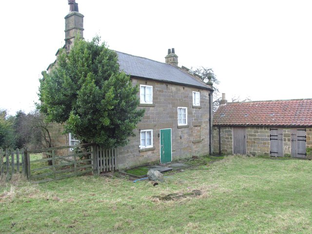
Image: © Gordon Hatton Taken: 14 Dec 2014
There's nothing remarkable about this house from this angle, but the building is grade 2 listed, partly because of the rather fine stonework to the front of the building [not easily photographed]. The house is disused, which seems a pity, but when one considers the difficulty in reaching it in any sort of vehicle, it becomes clear why the building is not used.
Images are licensed for reuse under creativecommons.org/licenses/by-sa/2.0
Image Location
Latitude
54.400456
Longitude
-1.284318