Flood storage pond at Garshake
Introduction
The photograph on this page of Flood storage pond at Garshake by Lairich Rig as part of the Geograph project.
The Geograph project started in 2005 with the aim of publishing, organising and preserving representative images for every square kilometre of Great Britain, Ireland and the Isle of Man.

There are currently over 7.5m images from over 14,400 individuals and you can help contribute to the project by visiting https://www.geograph.org.uk
Flood storage pond at Garshake
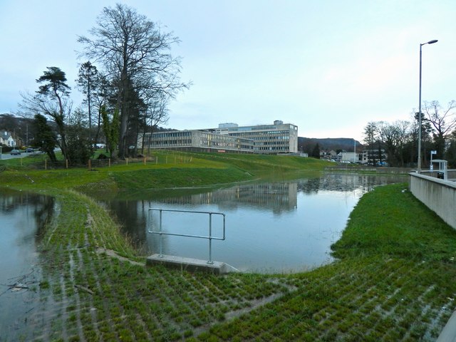
Image: © Lairich Rig Taken: 12 Dec 2014
See Image for the same area at an earlier stage in the construction process, and Image for a later view. In both pictures, Image can be seen in the background.
Images are licensed for reuse under creativecommons.org/licenses/by-sa/2.0
Image Location
Latitude
55.949107
Longitude
-4.548341