The former Foundry Arms, Wincobank
Introduction
The photograph on this page of The former Foundry Arms, Wincobank by Ian S as part of the Geograph project.
The Geograph project started in 2005 with the aim of publishing, organising and preserving representative images for every square kilometre of Great Britain, Ireland and the Isle of Man.

There are currently over 7.5m images from over 14,400 individuals and you can help contribute to the project by visiting https://www.geograph.org.uk
The former Foundry Arms, Wincobank
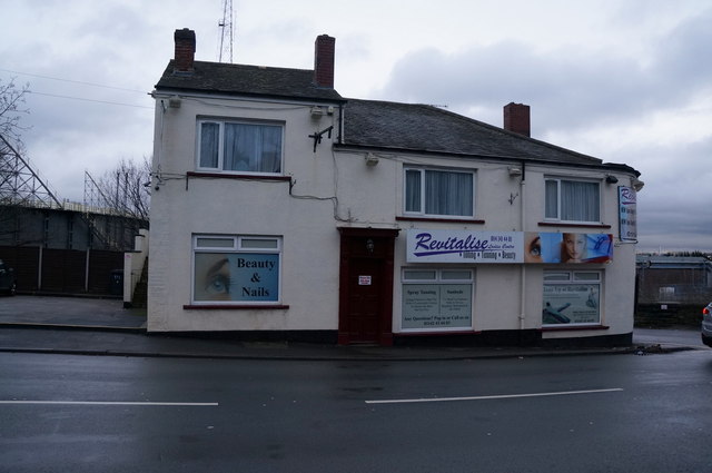
Image: © Ian S Taken: 17 Dec 2014
The Foundry Arms in 1988, http://www.geograph.org.uk/photo/2094159
Images are licensed for reuse under creativecommons.org/licenses/by-sa/2.0
Image Location
Latitude
53.421394
Longitude
-1.416875