Access land and non-access land
Introduction
The photograph on this page of Access land and non-access land by Trevor Littlewood as part of the Geograph project.
The Geograph project started in 2005 with the aim of publishing, organising and preserving representative images for every square kilometre of Great Britain, Ireland and the Isle of Man.

There are currently over 7.5m images from over 14,400 individuals and you can help contribute to the project by visiting https://www.geograph.org.uk
Access land and non-access land
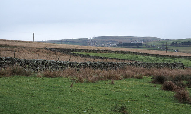
Image: © Trevor Littlewood Taken: 13 Dec 2014
The demarcation between land with open access and where there's not is clear to see in this image. The distant industrial installation is the Tata Steel limestone works near to Shap.
Images are licensed for reuse under creativecommons.org/licenses/by-sa/2.0
Image Location
Latitude
54.503671
Longitude
-2.6924