The Doncaster - Hull railway line
Introduction
The photograph on this page of The Doncaster - Hull railway line by Graham Hogg as part of the Geograph project.
The Geograph project started in 2005 with the aim of publishing, organising and preserving representative images for every square kilometre of Great Britain, Ireland and the Isle of Man.

There are currently over 7.5m images from over 14,400 individuals and you can help contribute to the project by visiting https://www.geograph.org.uk
The Doncaster - Hull railway line
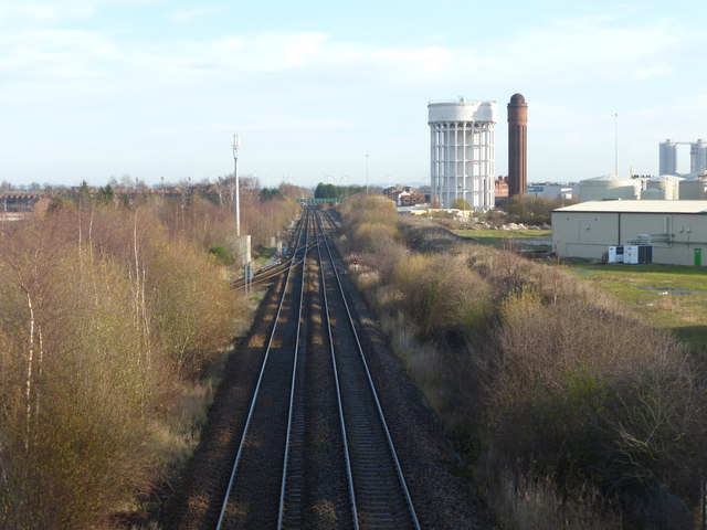
Image: © Graham Hogg Taken: 8 Dec 2014
Passing under the A161 Anderson Road near Goole docks. To the right of the railway are Goole's twin water towers, known locally as the 'salt & pepper pots'. In the distance are the turbines of the Goole Fields windfarm
Images are licensed for reuse under creativecommons.org/licenses/by-sa/2.0
Image Location
Latitude
53.701371
Longitude
-0.882851