Trewint Road
Introduction
The photograph on this page of Trewint Road by Derek Harper as part of the Geograph project.
The Geograph project started in 2005 with the aim of publishing, organising and preserving representative images for every square kilometre of Great Britain, Ireland and the Isle of Man.

There are currently over 7.5m images from over 14,400 individuals and you can help contribute to the project by visiting https://www.geograph.org.uk
Trewint Road
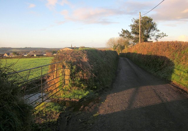
Image: © Derek Harper Taken: 13 Dec 2014
Just after passing the tree, the lane crosses, or rather slides (as it runs almost parallel to the gridline) into Image, the same square as the houses on the left, which are on Hartmeade. You can see the spire of Image] above one of them.
Images are licensed for reuse under creativecommons.org/licenses/by-sa/2.0
Image Location
Latitude
50.441911
Longitude
-4.407625